
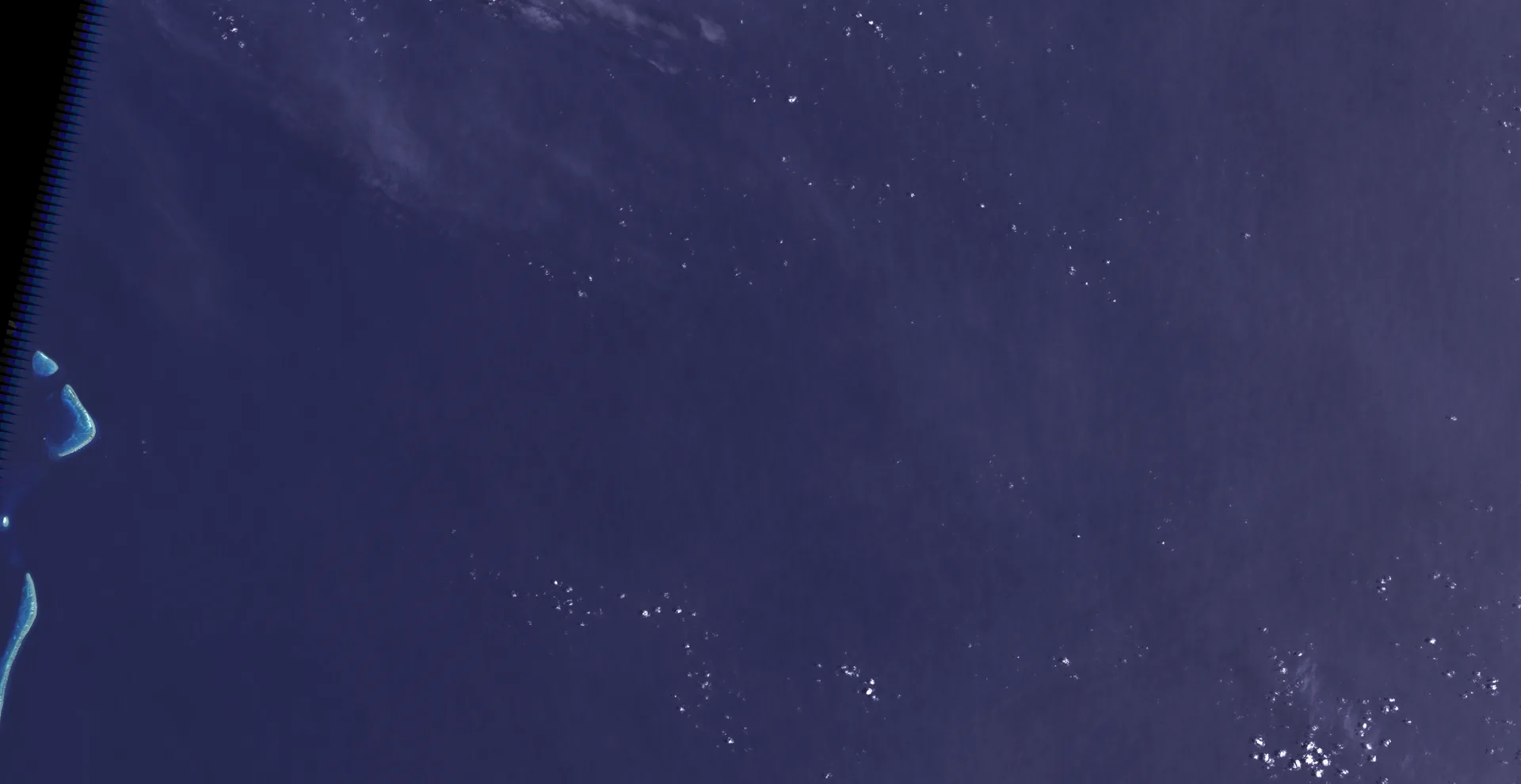
For more than a decade anyone who scrolled across the Coral Sea in Google Earth could find a long black sliver of land midway between the Chesterfield Islands and the main island of New Caledonia. It was labeled Sandy Island, it was roughly 25 kilometers from end to end, and it appeared in the coastline databases scientists use to draw their maps. In November 2012 an Australian research ship sailed straight across it and found more than a kilometer of water underneath.
The voyage
The RV Southern Surveyor, then the national research vessel of Australia’s Marine National Facility, spent 25 days that spring studying the tectonic history of the eastern Coral Sea. Its chief scientist, Maria Seton of the University of Sydney, noticed that the island on the team’s scientific maps did not appear on the ship’s navigation chart, which instead showed water about 1,400 meters deep. As Steven Micklethwaite of the University of Western Australia later told reporters, the scientists went up to the bridge and asked which to trust. The spot was close to their planned track, so they sailed through it, slowly, with a captain wary of running aground. The ship’s instruments never recorded the seafloor rising above about 1,300 meters. The university announced the “undiscovery” that week, and the story went around the world.
Where the island came from
Librarians and hydrographers quickly traced the feature back to the age of sail. At Auckland Museum, the pictorial librarian Shaun Higgins found Sandy Island on a 1908 British Admiralty chart, drawn with a dotted outline more typical of a reef, and followed its origin to the whaling ship Velocity. In 1876 the Velocity’s master reported heavy breakers and a line of “sandy islets” in the area, and the islets entered an Australian sailing directory in 1879 with a north-south extent and a position close to 159 degrees 57 minutes east. The Australian Hydrographic Service added that the report reached the officers of HMS Barracouta as an unconfirmed sighting, with no shape or size given, and that charts carried it with the note “reported 1876.” By 1888 it was being drawn as a single doubtful shoal.
Official chart makers caught the mistake long before Google did. France’s naval hydrographic office, SHOM, says it sent a maritime patrol aircraft over the position in 1979, found nothing, and removed the island from its charts by notice to mariners that March. The Australian Hydrographic Service ran a deliberate search during a 1985 survey and deleted the feature from its international charts on March 22, 1985. The error survived elsewhere because it had been copied into the World Vector Shoreline, a digital coastline built by a United States military mapping agency from paper charts, and from there into many derived data sets. Seton’s team, writing a mock obituary for the island in the journal Eos in 2013, said the mistake had become entrenched during that conversion from hard copy to digital.
What the whalers saw
No one can check a sighting from 1876, but the hydrographers offered two possibilities. SHOM pointed out that navigation in the nineteenth century often went wrong in longitude, and that the reported position lies just one degree east of the Bampton Reefs, which do exist. Both SHOM and the Australian service also noted that a submarine volcano sits beneath the spot. The 1985 Australian survey found it at around 1,500 meters and recorded areas of floating pumice nearby, and the service now strongly suspects the Velocity saw a raft of pumice, a short-lived feature that would have drifted off within months. Seton’s group added that winds and currents tend to funnel floating pumice from eruptions to the east through the gap between Fiji and New Caledonia, a route that passes the location of Sandy Island.
The idea that the island was a deliberate copyright trap, like the fictitious streets some mapmakers plant to catch plagiarists, found no support; the Australian service said such traps are not used on nautical charts.
Where it stands
Google removed the island within days of the announcement, and National Geographic struck it from its maps. Sandy Island never existed as land, and it was never a secret from navigators: the chart on the Southern Surveyor’s bridge was right. What made it a mystery was the gap between official charts and the global data sets everyone else relied on, a gap one ship closed in a single pass. Its soundings went to SHOM to refine the charts of the seamount below.