
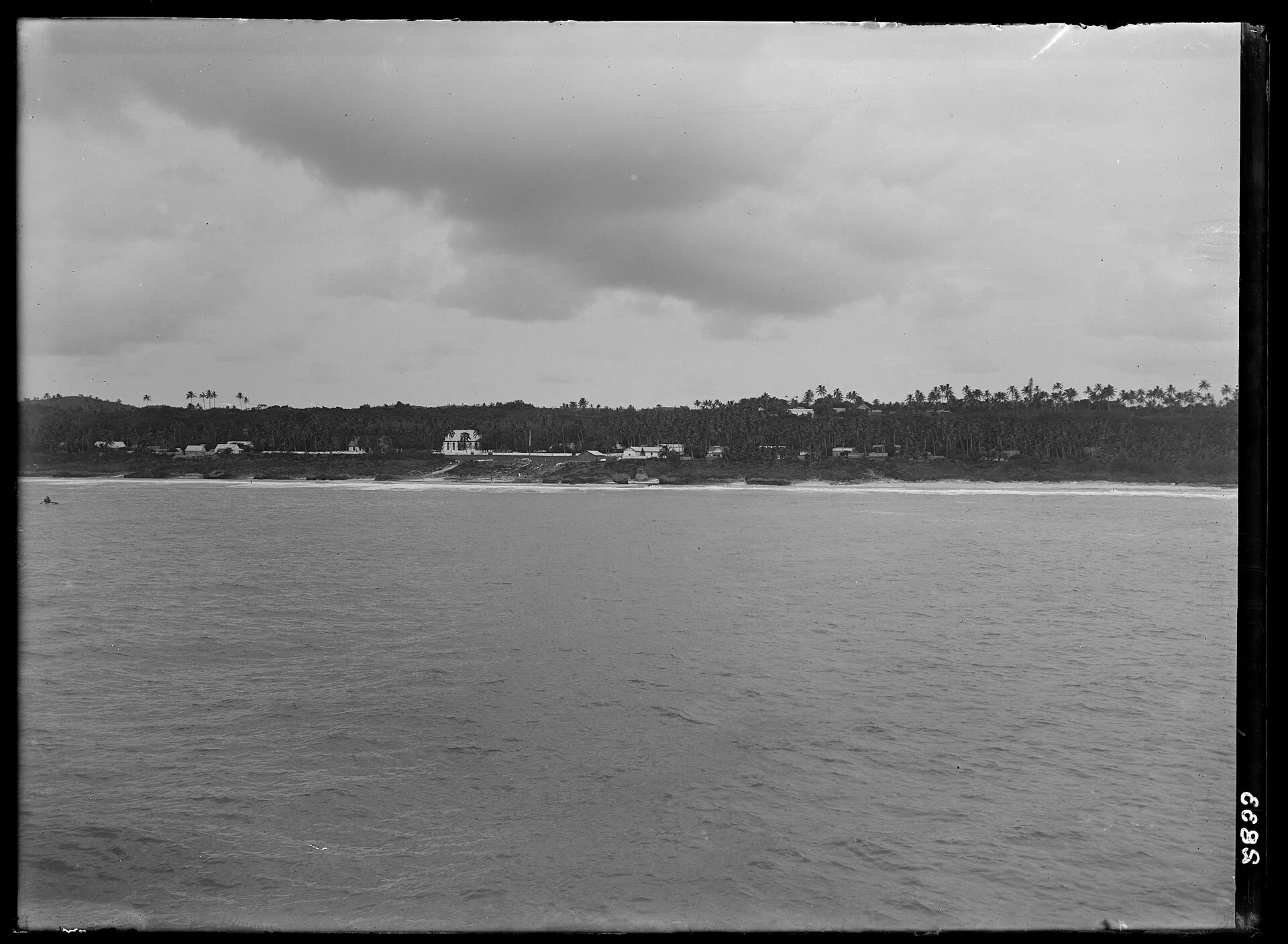
Tuanaki, sometimes written Tuanahe, is an island the people of the southern Cook Islands knew by name, by family history and by sailing directions, but that no European ever managed to put on a chart. Rarotongan and Mangaian accounts placed it south of their own islands, within two days’ canoe voyage. Missionaries went looking for it in the 1840s and found empty ocean. It has been listed among the vanished islands of the Pacific ever since.
The reports
The earliest written mention is in a letter by the missionary Robert Bourne dated November 16, 1825. He had heard of a populous island he called Tuanai, at roughly 23 degrees south and 158 degrees west, from a man living on Rimatara who had stopped there years before aboard a ship out of Sydney. On Rarotonga in the 1840s William Gill of the London Missionary Society collected more. As he set it down in his memoir, published in 1856, the island was supposed to lie no more than 200 miles south or southwest of Rarotonga, to be made up of three low islets sharing a single reef, and to support a large population. Two local seamen said they had sighted it from whaling ships, and one claimed to have met its inhabitants, who looked, dressed and behaved exactly like Mangaians.
The most detailed testimony came from a man named Soma, whom Gill and the Rarotongan missionary Maretu met on Aitutaki in 1844. Soma said that two years earlier, while serving on a ship that had come by way of Rurutu, he had been sent ashore to find the inhabitants, been welcomed into the high chief’s house, and stayed six days with the captain while the boat ferried yams, bananas, pigs and fowls back to the ship. The people spoke the Mangaian dialect, wore the bark-cloth poncho called the tiputa, and assured the visitors that they knew nothing of fighting, only singing and dancing. Asked for directions, Soma said to sail from Mangaia for a night and a day, keeping the Pleiades ahead.
The searches
Nobody found it again. George Platt looked in 1844 while sailing from Rurutu to Rarotonga, and Gill searched later the same year aboard the Samuel and Mary. Mission captains tried in 1860 and 1861, and the missionary ship John Williams in 1870. Hearsay kept coming: a New Zealand land court judge recalled an Auckland trader of the 1840s who had kept the position of a certain island secret, only to find it gone on a later voyage; in 1919 an academic was told of a man from Tuanaki who had died in the influenza epidemic; and in 1952 a family at Titikaveka on Rarotonga still claimed descent from a Tuanaki ancestor. After the old mission accounts were reprinted in 1916, Ernest Shackleton named the island among the goals of his 1921–22 Quest expedition, but he died at South Georgia in January 1922, before any search was made.
The explanations
The missionaries themselves eventually decided Tuanaki must have been a confused memory of Easter Island, which fits neither Soma’s low atoll nor his sailing time. Gerald McCormack of the Cook Islands Natural Heritage Trust has noted that steering toward the rising Pleiades from Mangaia leads to Îles Maria in the Austral Islands, an uninhabited atoll that matches much of the description; another island once visited from Mauke, Ngaruroto, turned out to be the same Îles Maria, its location simply forgotten within a few generations. The geographer Patrick Nunn took the opposite view, arguing that Tuanaki existed in the 1830s and was gone by 1844, perhaps undermined by a collapse of its submarine volcanic slopes. The Haymet Rocks, reported by a trading skipper who struck one in 1864 and never confirmed by later ships, have been put forward as a remnant, and modern surveys have found seamounts in the region about 1,500 meters down.
Where it stands
A flank collapse large enough to remove an inhabited island has never been demonstrated here, and William Wyatt Gill, after three decades in the Pacific, wrote that he had never known an island to disappear. Some Mangaians were skeptical in the 1840s too, telling Maretu he would come back with nothing. Tuanaki lives on in Cook Islands place names and family traditions. Whether it was a sunken island, a real atoll misplaced on the mental map, or a tradition taken for geography remains unproven.