
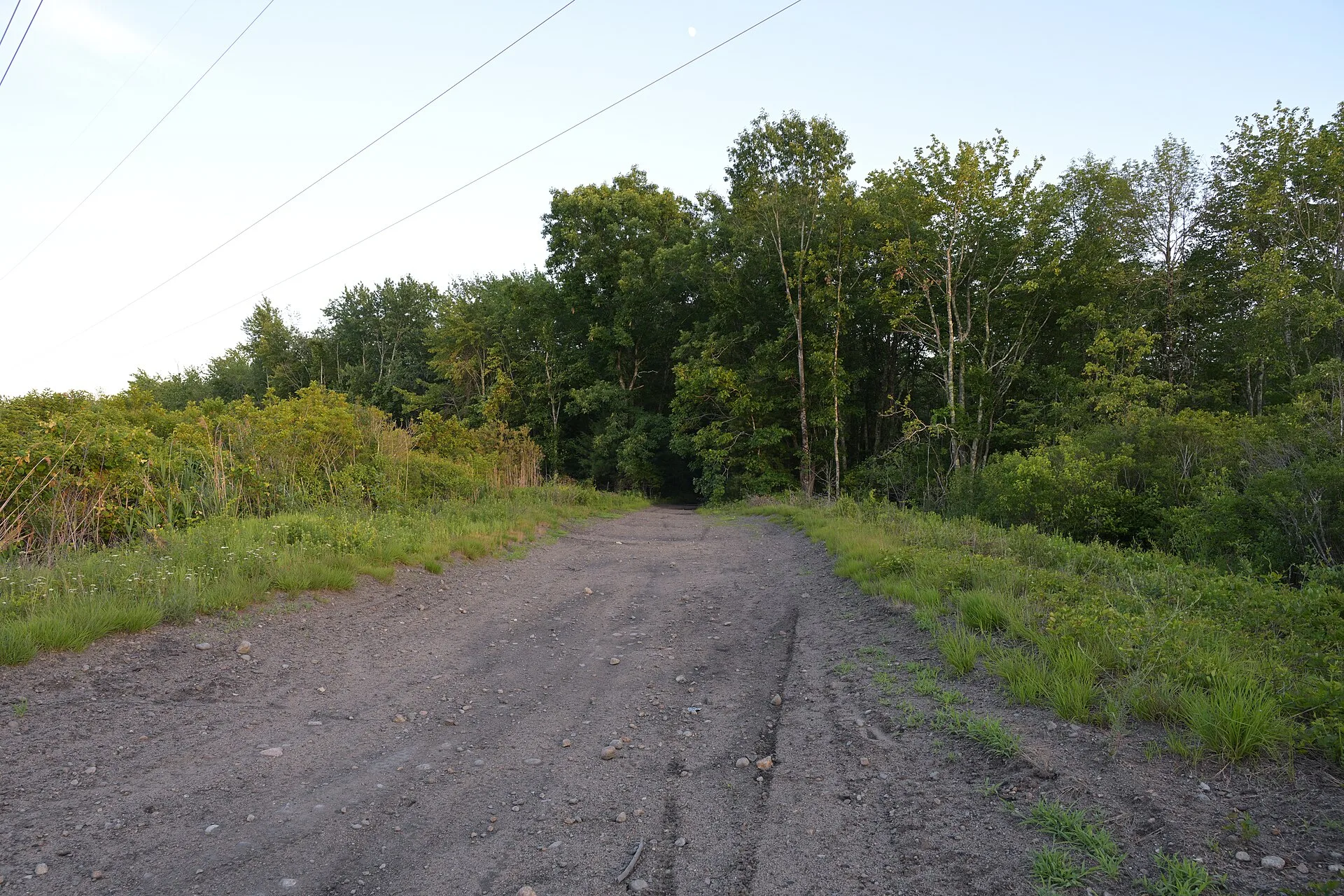
Southeastern Massachusetts is a landscape of small towns, cranberry bogs, state forest and wetland, with the Hockomock Swamp spread across the middle of it. The library in Bridgewater puts the swamp at nearly 17,000 acres, the largest freshwater wetland in the state. Since the early 1980s a wide area around it has carried a name borrowed from the Atlantic: the Bridgewater Triangle.
Where the name came from
The phrase belongs to Loren Coleman, a cryptozoologist who was living and working in Massachusetts in the late 1970s and collecting reports of unusual creatures, lights in the sky and hauntings. Following the writer John Keel, he thought of certain places as window areas, where strange reports cluster more thickly than in the country around them. Many of his stories came from near Bridgewater, West Bridgewater and East Bridgewater, which on a map form a rough triangle, and Charles Berlitz’s mid-1970s bestseller had made the Bermuda Triangle a household term. According to the Bridgewater Public Library’s bibliography, Coleman and Peter Rodman published “The Bridgewater Triangle” in Boston Magazine in April 1980, and Coleman gave the area a chapter in his 1983 book Mysterious America.
What is reported there
The Triangle collects almost every kind of oddity. Witnesses have described balls of light and craft over the swamp and Lake Nippenicket; a 2013 documentary revisited a 1908 sighting over West Bridgewater and an encounter that two radio reporters said they had on Route 24 in 1979. There are accounts of a hairy, Bigfoot-like creature in the Hockomock that local search parties never found, of thunderbird-sized black birds, and of outsized snakes. The Freetown-Fall River State Forest adds pukwudgies, the troublesome little people of Wampanoag lore, a ghost at Profile Rock, rumors of cult rituals and reports of mutilated cattle in the 1990s. Rehoboth contributes the red-haired phantom hitchhiker of Route 44.
Tellers often explain all this as a curse laid in revenge for King Philip’s War of 1675 to 1676, when the swamp served as a refuge and staging ground for Metacom’s forces, or more generally for the taking of Wampanoag land. The sources that repeat the curse do not trace it to any recorded Wampanoag tradition; it reads as a later explanation fitted to the stories.
How it grew
For two decades the Triangle stayed a footnote. In the early 2000s two local writers, Chris Pittman and Christopher Balzano, revived it online, and the borders grew well past Coleman’s three Bridgewaters. By the time WJAR covered the 2013 documentary The Bridgewater Triangle, by Aaron Cadieux and Manny Famolare, the accepted map ran roughly 200 square miles with Abington as its northern tip and Rehoboth and Freetown anchoring the two southern corners. WBSM radio’s Spooky Southcoast has broadcast an annual live investigation from inside it since the late 2000s, and the area has since inspired a scripted podcast and reported television projects.
The explanations
No one has measured whether the Triangle produces more strange reports than any other 200 square miles of New England. A window area is defined by the stories collected in it, and the borders here were drawn, then redrawn, around places that already had stories attached. The region is large and long settled, with a big swamp, a dense state forest, highways and a history of violent conflict, all of which supply material for ghost stories. Individual items have ordinary candidates, such as large herons and other birds for the giant fliers, aircraft and planets for lights, and teenagers or predators for some animal deaths, but none of the reports comes with physical evidence that has been examined.
Where it stands
The Bridgewater Triangle is a well-documented piece of modern folklore with a known author, a known date and a traceable expansion. As a geographic anomaly it has never been shown to exist. Coleman, who also put the Dover Demon on the map, went on to run the International Cryptozoology Museum in Maine.